Millennium Park
This landmark is home to the iconic Cloud Gate sculpture and the Jay Pritzker Pavilion. Walk toward the center of the plaza for clear photos of the sculpture's reflection.

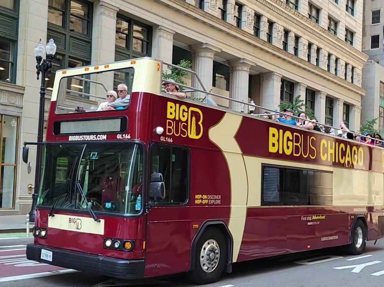
Chicago's hop-on hop-off network connects downtown landmarks, lakefront attractions, and cultural districts through a carefully designed circuit. Understanding the chicago hop on hop off bus route map before you board helps you prioritize stops and maximize your time in the city. This guide details the route structure, major stops, and navigation essentials for a smooth sightseeing experience.
Quick answer
The chicago hop on hop off bus route map covers a comprehensive downtown loop with stops at Millennium Park, Navy Pier, the Magnificent Mile, Willis Tower, Museum Campus, and the Theater District. The complete circuit runs approximately 13 miles and takes 90 to 120 minutes without disembarking. Buses operate daily from 10:00 to 17:00, departing the starting point at 98 E Wacker Dr every 20 to 30 minutes during peak hours.
Chicago's hop-on hop-off system traces a ribbon through the city's most concentrated tourism corridor, anchored at 98 E Wacker Dr near the Chicago River. Unlike cities where bus tours scatter across distant neighborhoods, Chicago's route focuses on the Loop, Near North, and lakefront zones where most visitor attractions cluster within a three-mile radius. The chicago hop on hop off bus route map is built as a single continuous loop rather than multiple branching lines. This design simplifies navigation—you board at any designated stop and the circuit eventually returns you to your starting point. Major stops include Millennium Park for Cloud Gate and the Art Institute, Navy Pier for lakefront recreation, the Magnificent Mile shopping district along Michigan Avenue, Willis Tower for skyline views, and Museum Campus covering the Field Museum, Shedd Aquarium, and Adler Planetarium. The Theater District and Grant Park round out the downtown attractions. Practical navigation centers on understanding stop spacing and transfer timing. Stops average eight to ten blocks apart, close enough to cover ground efficiently but spaced to avoid excessive stopping. Audio commentary on board identifies upcoming stops and provides historical context for each district. During morning hours between 10:00 and 14:00, buses maintain tighter intervals, reducing wait times when you hop off to explore. Afternoon frequency may stretch as traffic builds along Michigan Avenue and Lake Shore Drive. Route familiarity pays off when planning your sequence. Museum Campus stops work best early when institutions open and crowds remain light. The Magnificent Mile serves lunch and shopping midday. Navy Pier anchors an afternoon stop when lakefront activity peaks. The chicago hop on hop off bus route map allows flexible reordering based on your interests, weather, and energy level throughout the day. Carrying a digital or printed route reference ensures you can locate the nearest stop from any landmark without backtracking on foot.
“Chicago's single-loop design simplifies sightseeing by eliminating route transfers and ensuring every stop eventually circles back to your starting point.”
The Chicago hop-on hop-off bus route provides a comprehensive loop connecting the city's most significant cultural and architectural landmarks. Passengers can utilize the various stops to navigate between major districts at their own pace.
This landmark is home to the iconic Cloud Gate sculpture and the Jay Pritzker Pavilion. Walk toward the center of the plaza for clear photos of the sculpture's reflection.
This stretch of Michigan Avenue features high-end shopping, historic buildings, and notable skyscrapers. Visit during the morning to photograph the architecture before pedestrian crowds increase.
Located on the edge of Grant Park, this museum houses extensive collections of impressionist and post-impressionist art. Enter through the Modern Wing to avoid the main entrance queues.
A major entertainment destination extending into Lake Michigan, offering views of the skyline and boat tour departures. Walk to the end of the pier for a panoramic view of the Chicago coastline.
Standing as one of the tallest buildings in the city, this site is a central point for urban observation. Look up from the base of the South Wacker Drive entrance to appreciate the scale.
The Chicago hop on hop off bus tours operate on a consistent daily schedule throughout the week. Services run from mid-morning until the late afternoon.
The main departure point for the Chicago hop-on hop-off bus tour is located at 98 E Wacker Dr, Chicago, IL 60601. This central location in the downtown area is easily accessible via public transit and major city thoroughfares.
CTA 'L' Red Line to State/Lake station
CTA 'L' Brown or Green Line to State/Lake station
CTA Bus lines 2, 6, 20, or 29 to Michigan & Wacker
Drop-off at 98 E Wacker Dr
Plan your arrival for the best window of 10:00–14:00. Arriving during this period helps avoid peak afternoon crowds and ensures sufficient time to complete the full route.
The best arrival window is 10:00–14:00, as arriving early allows sufficient time to complete the full route while avoiding peak afternoon congestion. This timing ensures visitors can navigate the Chicago hop on hop off bus route map efficiently during operational hours.
—
Mid-week travel offers the shortest wait times at major stops. Visitors benefit from less traffic during the initial loop.
Mild, 60–75°F (15–24°C)
Pleasant temperatures make open-top bus travel comfortable. This period avoids the most intense summer humidity.
Cooler, 50–70°F (10–21°C)
Lower humidity and moderate temperatures provide ideal conditions for viewing the city. Chicago typically experiences clearer skies during these months.
Warm, 70–85°F (21–29°C)
Expect heavy pedestrian traffic near major stops. Early morning arrival is essential to secure preferred seating during these busy months.
Verdict: Tuesday to Thursday, arriving at 10:00, during May or September offers the most balanced experience for navigating the city.
Everything you need to know about chicago hop on hop off bus route map
You can view the official chicago hop on hop off bus route map on the Big Bus Tours website or pick up a printed version when you board. Digital versions are also available through the provider's mobile app for real-time tracking.
The chicago hop on hop off bus route map is designed to be intuitive, highlighting major stops and points of interest along the loop. It clearly marks each bus station so you can plan your day without confusion.
Yes, this Chicago landmarks tour covers key areas like the Magnificent Mile, Millennium Park, and the Museum Campus. It is a convenient way to navigate between cultural institutions and scenic waterfront views.
While the chicago hop on hop off bus route map focuses on the primary tourist corridors, it provides comprehensive coverage of central Chicago. The circuit is structured to minimize travel time between popular destinations and parks.
The main departure point for the Chicago bus tour is located at 98 E Wacker Dr, Chicago, IL 60601. It is recommended to arrive between 10:00 and 14:00 to maximize your time on the route.
To make the most of your trip, use the chicago hop on hop off bus route map to identify your priority stops before boarding. Getting on early in the day allows you to experience the full loop while avoiding the heaviest afternoon crowds.
Yes, the route includes several convenient stops throughout the downtown area and near the riverfront. These stations provide easy access to museums, shopping districts, and transit hubs for further exploration.
Chicago Hop On Hop Off Bus Tours
Read more GuideChicago Hop On Hop Off Bus Stops
Read more GuideChicago Hop On Hop Off Map
Read more GuideChicago Hop On Hop Off Price
Read more GuideChicago Hop On Hop Off Bus Times
Read more Tickets & toursChicago Hop On Hop Off Tickets
Read more